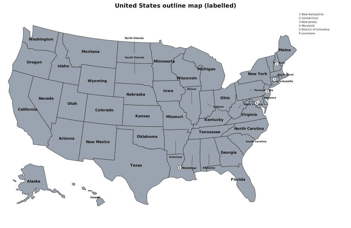
United States outline map (labelled)
Fifty states plus the District of Columbia, with Alaska and Hawaii in the usual inset. The blank version is the worksheet; the labelled version is the key. Natural Earth publishes this layer in the public domain, so you can photocopy a class set without a licence conversation.
This outline map is public domain. You are free to print it, copy it and redistribute it. No attribution is required. Classroom use is encouraged.
Matching quizzes
Need the blank worksheet? United States outline map (blank)