North America outline map (labelled)
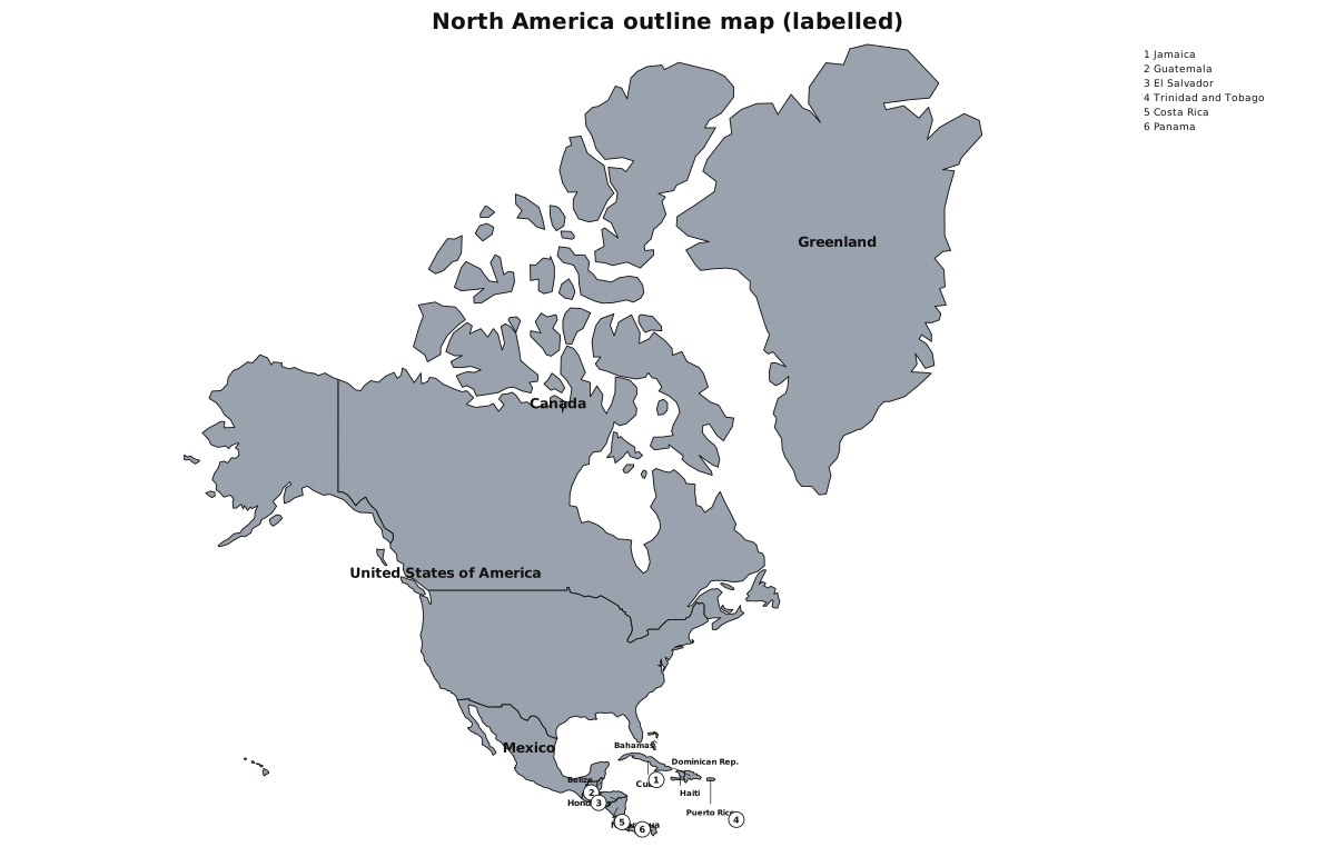
North America on this sheet is Canada, the United States, Mexico, Central America, the Caribbean and Greenland — the Natural Earth continent, not a US-only wall map. If you want the fifty states on their own, use the United States sheets below.
This outline map is public domain. You are free to print it, copy it and redistribute it. No attribution is required. Classroom use is encouraged.
Matching quizzes
Need the blank worksheet? North America outline map (blank)