Seterra vs MyGeoQuiz: Map Clicking Quizzes and Printable Outline Maps
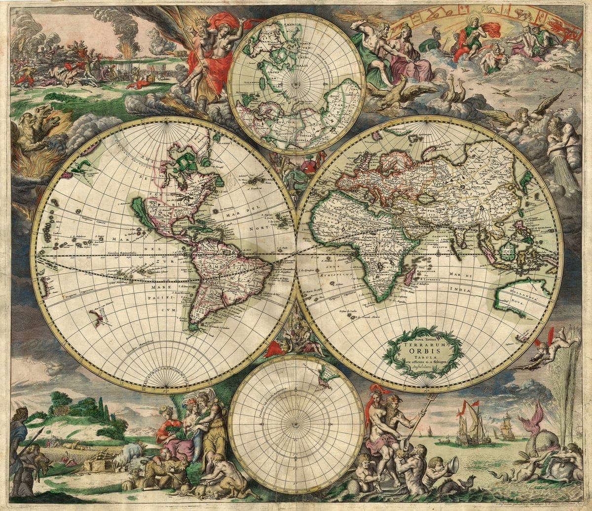
Seterra is the map-clicking quiz a lot of teachers already know: a blank or labelled map on screen, click the country, capital or state the prompt names. MyGeoQuiz is a different drill — flags, capitals as text, landmarks, food, silhouettes — plus downloadable outline maps that are public domain. One tests “where is it on this map.” The other tests “what is its flag, capital or famous site.”
What Seterra does
Seterra’s strength is location on a map. Continents, countries, US states, Canadian provinces, capitals pinned to a point. It is fast, it works on a projector, and the mechanic is always the same: find it. That is the right tool if the learning goal is the shape of Africa or the placement of Namibia.
A clickable map and a printable outline worksheet teach the same shapes in different rooms
What MyGeoQuiz adds
MyGeoQuiz does not ask you to click Namibia on a map. It asks whether you can pick Namibia’s flag from near-misses, or Windhoek from other capitals, or a landmark that people file under the wrong country. Continent quiz pages keep a lesson inside Europe or the Americas. The daily challenge mixes five types in 15 questions.
Printable maps
Seterra is on-screen. When a teacher needs a paper outline — no login, no projector, a photocopier — MyGeoQuiz’s printables are blank and labelled SVG and PDF sheets for the world, six continents and US states. The licence on every page is the sentence that matters in a staff room: public domain, free to print and redistribute, no attribution required, classroom use encouraged. The geometry is Natural Earth, not a Wikimedia trace with a share-alike clause.
Use them together
- •Seterra for “click this country / state / capital on the map.”
- •MyGeoQuiz printables for a paper outline, homework, or a test that cannot be a website.
- •MyGeoQuiz quizzes for flags, capitals as names, landmarks and a daily mix.
If your class already uses Seterra, keep it for the clicking. Add a blank Africa or Europe outline from the printables index when you need paper, and a flag quiz when the goal is the design on the pole rather than the shape on the map.