Asian Geography: A Complete Guide to the World's Largest Continent
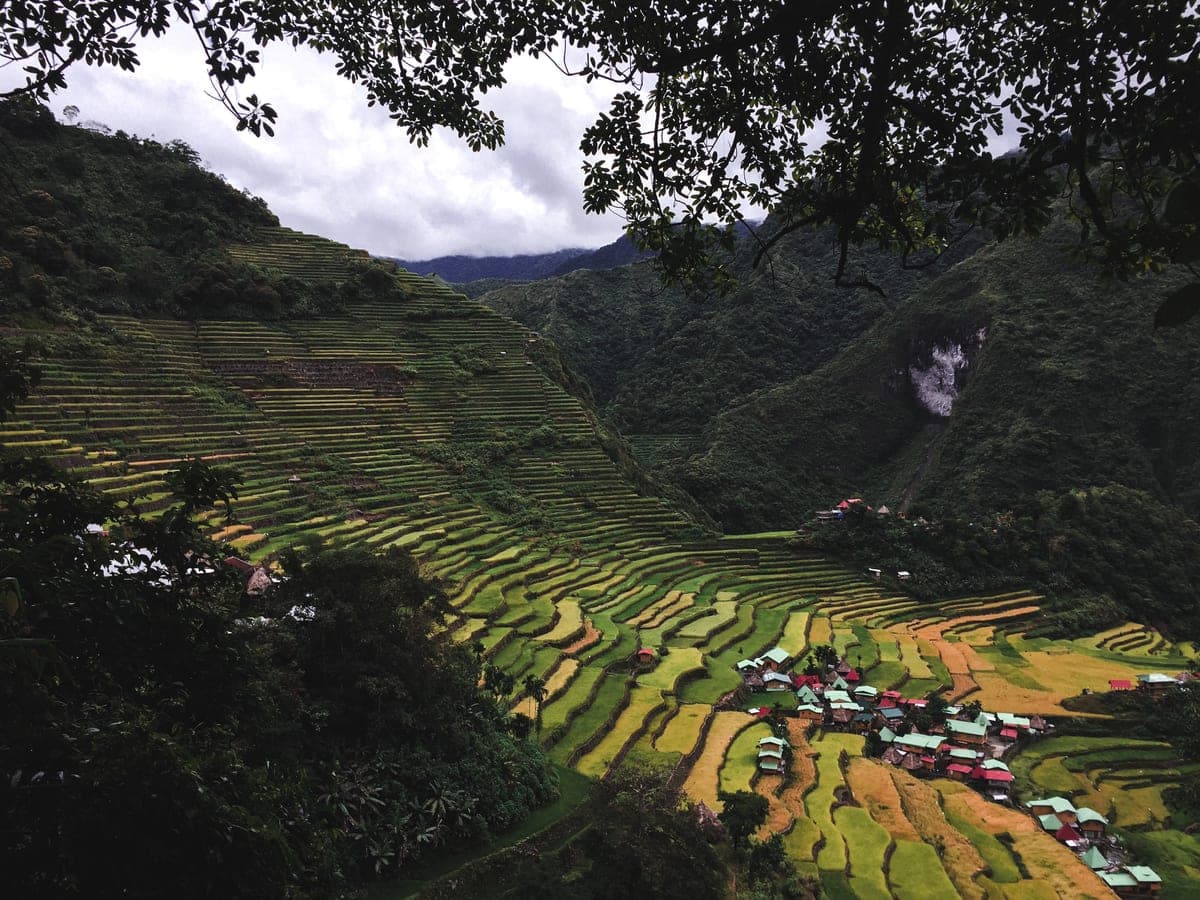
Asia is the world's largest continent by both area and population. It covers approximately 44.6 million km² — nearly 30% of Earth's total land area — and is home to around 4.7 billion people, about 60% of humanity. Asia contains some of the world's oldest civilisations, highest mountains, most populated cities and most varied landscapes.
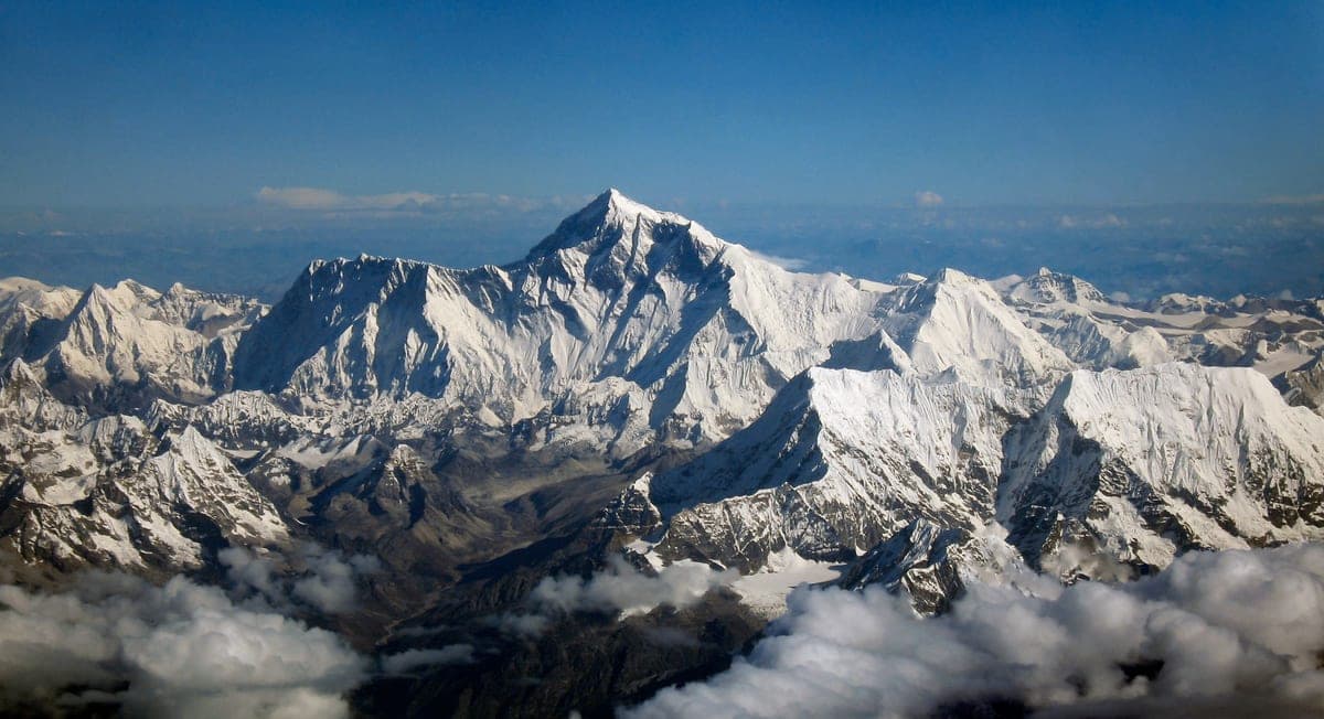
The Himalayas — the world's highest mountain range, entirely in Asia
How Big Is Asia Really?
To understand how enormous Asia is, consider this: Russia alone covers 17.1 million km² — and most of Russia (about 77%) is in Asia. China is the world's third or fourth largest country and could fit the whole of Western Europe within its borders. India, the world's most populous nation, is larger than all of Europe. Asia stretches from Turkey in the west to Japan in the east, from Russia's Arctic coast in the north to Indonesia's tropical islands in the south.
East Asia: The Economic Powerhouses
East Asia includes China, Japan, South Korea, North Korea, Mongolia and Taiwan. This region contains some of the world's most powerful economies. China has the world's second largest economy and is the world's largest exporter. Japan has the third largest economy. South Korea is a technological powerhouse known for companies like Samsung and Hyundai. The region is also home to extraordinary geographical diversity — from the Gobi Desert of Mongolia to the rice paddies of southern China to the volcanic islands of Japan.

China
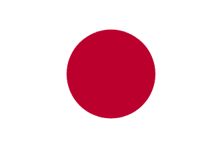
Japan
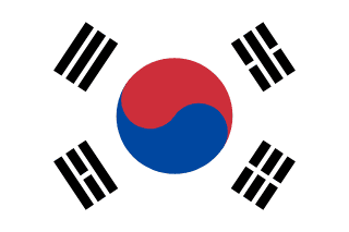
South Korea
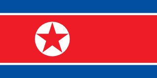
North Korea
South Asia: The Subcontinent
South Asia comprises India, Pakistan, Bangladesh, Nepal, Bhutan, Sri Lanka and the Maldives. The region is dominated by the Indian subcontinent, a vast triangular landmass that was once a separate tectonic plate that collided with Asia around 50 million years ago, creating the Himalayas in the process. South Asia is home to about 1.9 billion people — nearly a quarter of humanity — packed into a relatively small area.
The Himalayas form the northern boundary of South Asia and contain all 14 of the world's mountains above 8,000 metres. Nepal alone is home to eight of the world's ten highest mountains, including Everest. The region has some of the wettest places on Earth (Meghalaya in India receives over 11 metres of rain per year) and the river systems of the Ganges, Indus and Brahmaputra support some of the densest populations on the planet.
Southeast Asia: The Maritime Continent
Southeast Asia consists of 11 countries: Thailand, Vietnam, Cambodia, Laos, Myanmar, Malaysia, Singapore, Indonesia, Philippines, Brunei and Timor-Leste. The region is divided into mainland Southeast Asia (the Indochina Peninsula) and maritime Southeast Asia (the islands of Malaysia, Indonesia and the Philippines). Indonesia, with its 17,000+ islands and 270 million people, is the world's largest archipelago nation and the fourth most populous country on Earth.
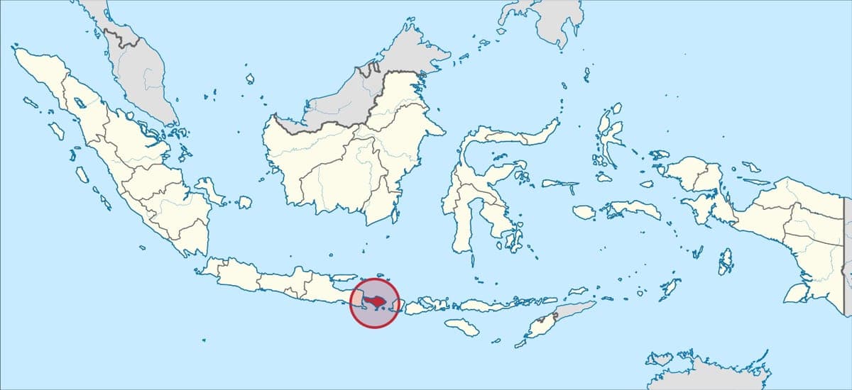
Indonesia — the world's largest archipelago and fourth most populous country
Central Asia: The Steppe and the Silk Road
Central Asia consists of five countries that were all Soviet republics until 1991: Kazakhstan, Uzbekistan, Turkmenistan, Kyrgyzstan and Tajikistan. All five are landlocked. The region has a harsh continental climate with extreme temperatures — cold winters and hot summers. Historically, Central Asia was the heartland of the Silk Road, the trading network connecting China with the Mediterranean world. The ancient cities of Samarkand and Bukhara in Uzbekistan were once among the most magnificent in the world.
Western Asia: The Middle East
Western Asia, commonly referred to as the Middle East, includes Turkey, Iran, Iraq, Syria, Lebanon, Jordan, Israel, Saudi Arabia, Yemen, Oman, UAE, Qatar, Kuwait and Bahrain, as well as the South Caucasus countries of Georgia, Armenia and Azerbaijan. The region sits at the crossroads of three continents — Europe, Asia and Africa — and has been a centre of world civilisation for millennia. Mesopotamia (modern Iraq), the Nile Valley (Egypt) and the Levant (modern Israel, Lebanon and Syria) are all considered cradles of civilisation.
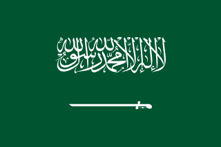
Saudi Arabia
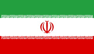
Iran
Asia's Geographical Extremes
- •Highest point on Earth — Mount Everest, Nepal/China, 8,849 metres
- •Lowest point on land — Dead Sea, Israel/Jordan, 430 metres below sea level
- •World's largest country — Russia (mostly in Asia)
- •World's most populous country — India (over 1.4 billion)
- •World's largest archipelago — Indonesia (17,000+ islands)
- •World's deepest lake — Lake Baikal, Russia, 1,642 metres
- •World's largest plateau — Tibetan Plateau, average 4,500 metres
- •World's wettest place — Mawsynram, India, 11,871 mm of rain per year
- •World's largest landlocked country — Kazakhstan
- •World's busiest shipping lane — Strait of Malacca, between Malaysia and Indonesia
Asia's Population Concentration
Asia's population is not evenly distributed. The vast majority of Asians live in a relatively small area. China and India together have about 2.8 billion people — 35% of the entire world population. If you draw a circle around the South, Southeast and East Asian coast including India, China, Japan and Southeast Asia, you can fit more than half of all humanity inside it. By contrast, vast areas of Russia, Mongolia and Central Asia are nearly empty.
Asia features prominently across all our quizzes — test your knowledge of Asian flags, capitals, landmarks and world facts at MyGeoQuiz!